

 City Tavern's Chef Walter Steib's tour of Physick House
 A Taste of History, Show 203.
www.atasteofhistory.org
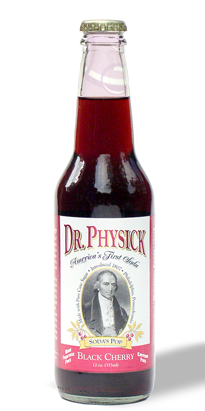
Snuggle by the fire with your
Dr. Physick soda and an original fireback by J. Del Conner, or
one of his award winning historic reproduction firebacks from
The Winterthur Museum

www.fireback.com
COMMISSION A MAP
by artist
J. Del Conner
His clients include
universities, arboretums, amusement parks and
Christ Church Burial
Ground, where Benjamin Franklin (above) and
Dr. Physick are buried.
VIEW SAMPLES
BIRD'S-EYE-VIEW MAPS by J. Del Conner
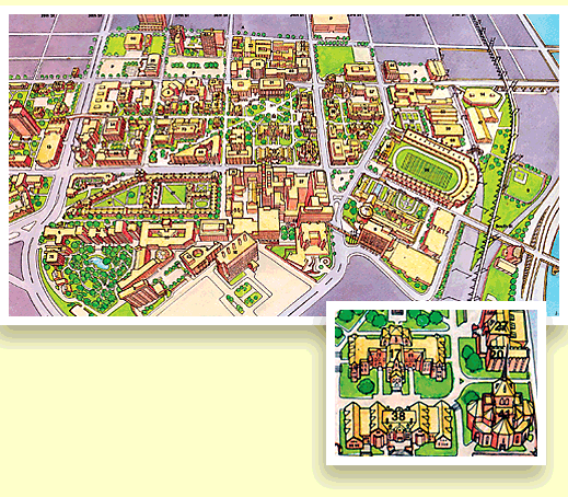
With an aerial view illustration of Philadelphia's Jefferson University in 1976, graphic designer, and sculptor, J. Del Conner produced the first of his "Bird's Eye View Maps." Following this Del would produce his initial rendering of the main campus of the University of Pennsylvania. The Penn map would be updated over the course of thirteen years and many others commissioned:
1976 Jefferson University Campus Map, Phila., PA
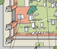
1976 University of Pennsylvania Main Campus Map, Phila., PA
1977 Great Adventure Amusement and Safari Park Maps, Jackson, NJ
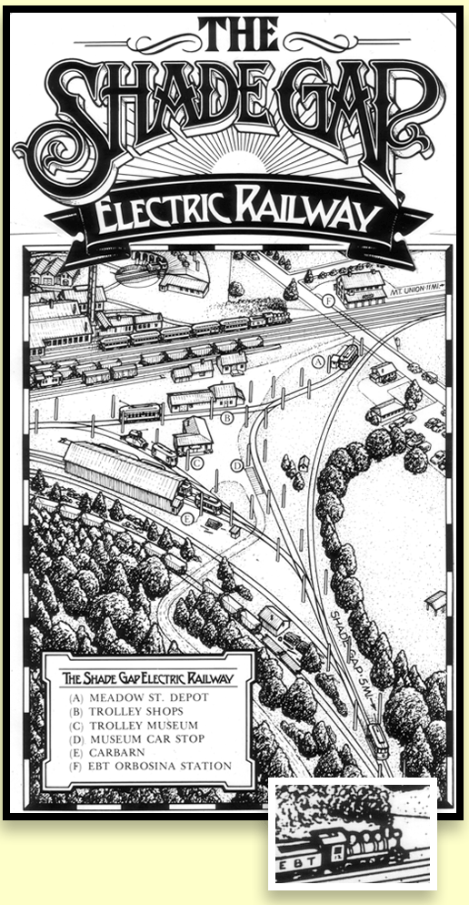
1978 Shade Gap Electric Railway and East Broad Top Railroad Map, Orbisonia, PA
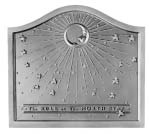
1980 North Star Fireback Star Chart, Pennsylvania Firebacks, Inc., Lansdale, PA
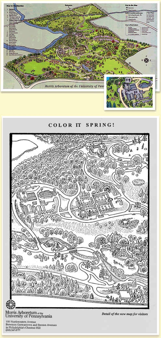
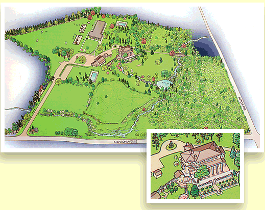
1981 Morris Arboretum of the University of Pennsylvania, Phila., PA
1983 Future Vision Map of Morris Arboretum, Phila, PA
1985 Center City Philadelphia Map, PA
1985 Halley's Comet Fireback Star Chart, Pennsylvania Firebacks, Inc., Lansdale, PA
1985 Conrail System Map for their Annual Report, Phila., PA
1986 Awbury Arboretum Map, Phila., PA
1988 Morris Arboretum Map with center Point-of-View, Phila, PA
1995 Morris Arboretum Map, Phila., PA
(Major updating of 1981 Map)
1998 Medical Tour of Historic Philadelphia Map, Landmarks, Phila., PA
2000 Mermaid Lake Map, Blue Bell, PA
http://www.mermaidlake.com/mcdc/gallery/map.html
2001 Oak Lane Day School Map, Blue Bell, PA
2005 Christ Church Burial Ground Map, Phila., PA
http://www.christchurchphila.org/Historic_Christ_Church/
Burial_Ground/59/
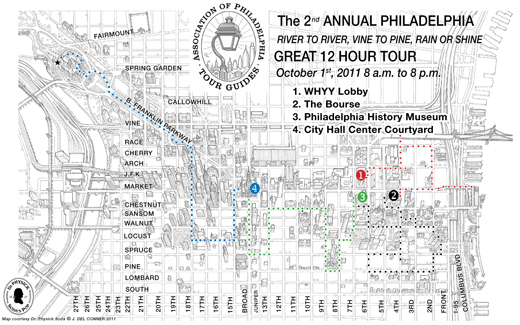
2011 Association of Philadelphia Tour Guides 12 Hour Tour Map Phila., PA
1981 University of Pennsylvania Main Campus Map, Phila., PA
(Updated periodically from 1976 to 1989)
1981 Morris Arboretum of the University of Pennsylvania, Phila., PA
(Updated periodically from 1981 to 1995)
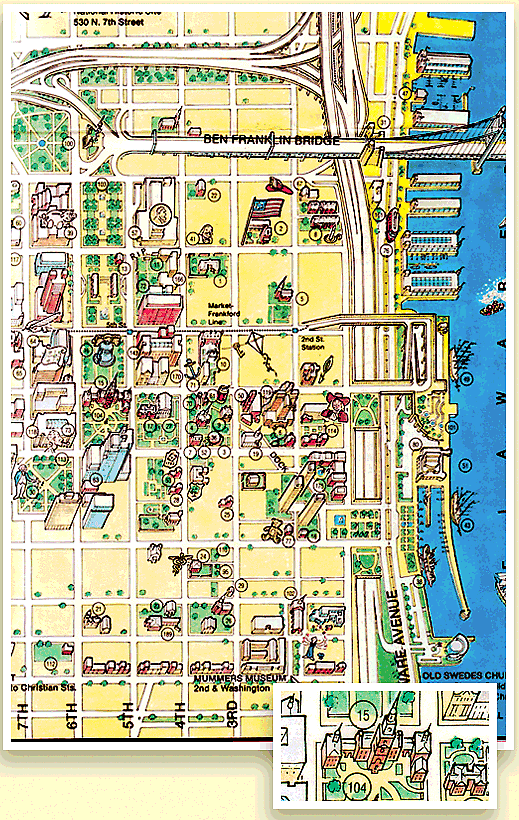
1985 Center City Philadelphia Map
1978 Shade Gap Electric Railway and East Broad Top Railroad Map
Orbisonia, PA
2001 Oak Lane Day School Map, Blue Bell, PA
2011 Association of Philadelphia Tour Guides 12 Hour Tour Map